Friday, April 19, 2024


CHELAN - Five days later, on Thursday, August 2 approximately at 12:00 a.m. Chelan Hills Fire was 100 percent contained by the Northwest Interagency Incident Management Team 11 (NWT11).
Chelan Hills Fire originated Friday July 27 approximately 1:15 p.m., two miles East of Chelan Highway 97, across from the Chelan Butte, south of the Beebe Bridge.
The fire burned 1,842 acres of grass, short brush and wheat fields combined.
Several properties within the burn area were saved by the efforts of fire crews. Two primary residents, one seasonal home and several outbuildings were damaged by the fire.
Damaged were 80 acres of wheat fields and some corn.
Participating agencies in fighting this wildfire include the Bureau of Land Management, Douglas County Fire Districts 1, 4, and 5, and Washington State Department of Natural Resources.
Navarre Fire
On Navarre Coulee Road between U.S. Highway 97A and County Road 2 (WA 971). the Navarre Fire lit up on July 31 at 8:45 p.m.
As of August 4 at Navarre Fire was fully contained, the size of the fire is 151 acres.
The cause of this fire has not yet been determined, authorities are investigating. So far, no structures have been lost.
At 4:00 p.m. on August 1, NW Team 11 took command of the Navarre Fire. Crews assisted local agencies on initial attack and built containment lines effectively.
On Friday, August 3, the management for this fire was transferred to the local Washington DNR district.
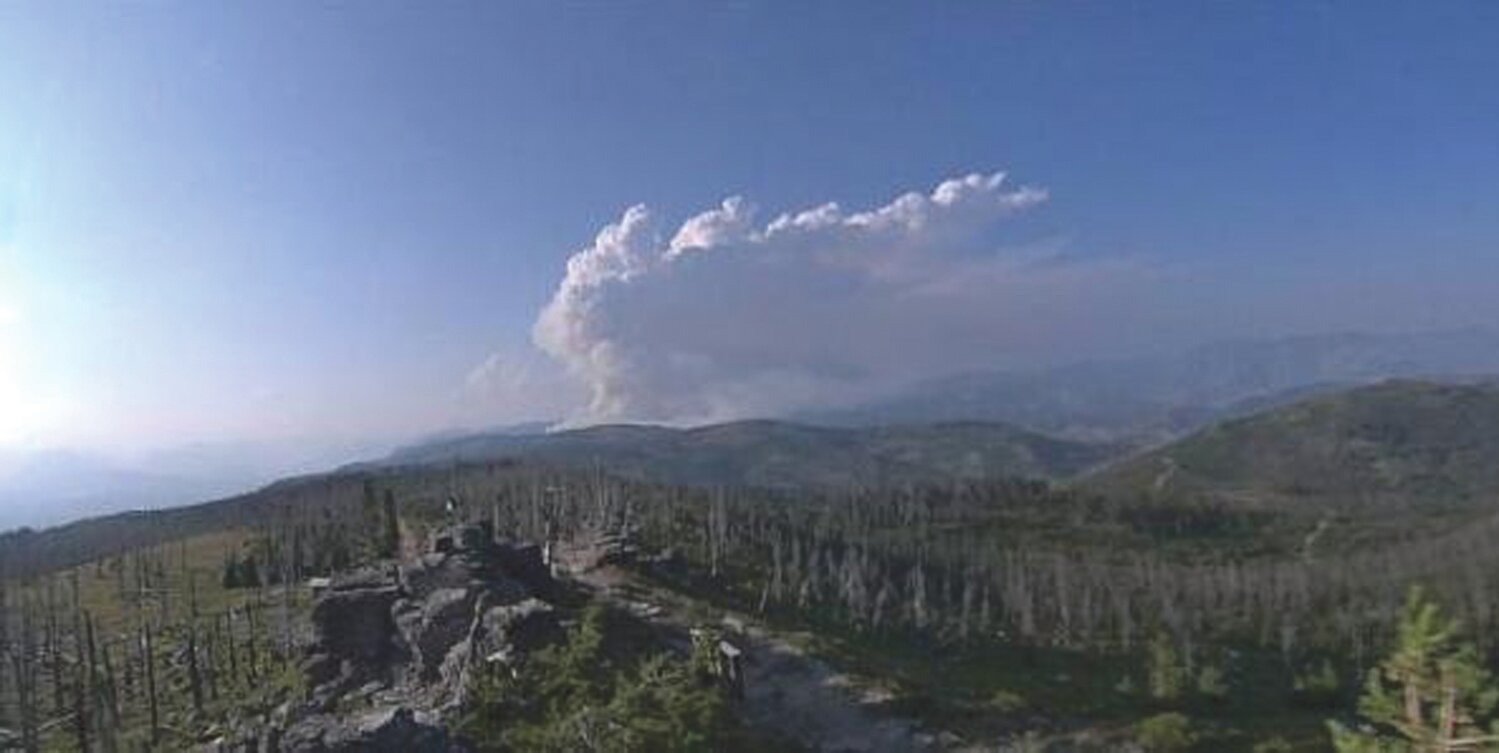
Couglar Creek Fire
Cougar Creek Fire is now 4,154 acres and it was determined that the cause of this fire was lighting.
On Monday August 6, InciWeb posted the following statement:
A community meeting was held last night at the Entiat fire station. Approximately 100 people were in attendance with another 108 streaming live on Facebook. Personnel from California Interagency Incident Management Team 5, the local fire department, and the U.S. Forest Service reported on the fire’s progress and answered questions.
The Cougar Creek fire is active in thick dead and down timber. It is creeping and backing down steep rugged terrain.
Although there was very little fire growth yesterday, the vegetation in the fire’s interior continues to burn. The north and west sides of the fire are relatively stable. The east side is holding west of Tyee Ridge. The spot fires on the east and south side are being worked so that existing roads and trails can be used to establish a continuous perimeter around the fire.
Firefighters yesterday were able to take advantage of the calmer weather to attack the fire more directly, resulting in a number of accomplishments. These included:
• Installing sprinklers and portable pumps in the Entiat Valley to protect residences.
• Reducing the fuel load by removing brush and dead timber using hand crews and heavy equipment, such as masticators, near residences in the Entiat Valley and Plain.
• Connecting containment lines using hand crews and dozers and old forest roads, keeping spot fires on the east and southeast section of the fire in check, (including putting a line around one).
• Using fire to burn vegetation along the south and southeast sections of the fire perimeter. Firing operations are an important tool in fire suppression because the main fire burns into the black, reducing its intensity. Although firing operations can generate additional smoke, on the plus side smoke can limit fire growth.
A new fire—called the Lost Fire—was reported yesterday afternoon four miles northwest of Maverick Peak and nine miles north of Plain. It is less than 50 acres and most likely started from lightening several days ago. Yesterday, firefighters from this team conducted initial attack and air tankers dropped retardant around it. Today, 16 smokejumpers will assess the fire, take suppression action if safe to do so, and provide intelligence to fire managers to develop a strategy.
Firefighters and air operations will again take advantage of today’s weather to continue the progress made yesterday through a more aggressive attack on the fire. This is important because hot, dry and possible windy conditions are expected by the end of the week. Fire operations will continue if conditions allow.
Yesterday evacuation levels went from a Level 3 to Level 2, according to Chelan County Sheriff’s Office. The immediate threat to residents in the area has decreased, but there is enough of a fire presence to maintain Level 2. Be aware that fire conditions can change quickly and necessitate Level 3 restrictions being reinstated. North of the Level 2 evacuations (mile post 24.5) Forest Service campgrounds remain closed and the Forest closure order remains in effect.
Visit https://bit.ly/2Mkk2lX for more information.


Comments
No comments on this item Please log in to comment by clicking here