Thursday, April 18, 2024


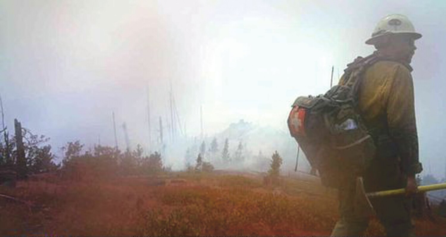
CHELAN - The Twentyfive Mile Fire was reported Sunday afternoon, August 15 at 3:45 p.m. in the 25 Mile Creek drainage burning in brush and timber and forced Level 3 evacuation notices to residents in that area that day. Washington State Patrol Chief John Batiste authorized the mobilization of state firefighting resources on August 15, at 9:30 p.m., at the request of Fire Chief Mark Donnell, Chelan Fire & Rescue.
As of Monday, August 30 it is at 12,517 acres.
Below is the latest information on the fire as of Monday,. August 30.
Fire Information Line:
509-761-9217
Daily from 8a.m. to 8p.m.
Maps Available
at inciweb.com
Size: 12,517 acres
Total Personnel: 481
Containment: 28%
Cause: Under investigation
Structures Threatened: 772
Structures Lost: 1
RED FLAG WARNING in effect today (August 30) from 1-9 p.m.
Yesterday (August 29) saw an increase in active fire behavior across the fire area including areas around Grouse Mountain, both Twenty-Five Mile and North Fork Twenty-Five Mile drainages, and near Slide Peak. Firing operations were initiated and air resources were deployed to Utah Saddle but after several cycles it was determined that their impact on the fire spread was minimal, so air operations were suspended. The fire did cross over containment lines in the northwestern corner and two spot fires were detected in the vicinity of Utah Saddle. Firing operations also occurred near Slide Peak. The increase in acreage and breach of containment lines has led to a decrease in the percent containment.
Today a dry front will pass over the fire that will produce very active to extreme behavior; expect large columns of smoke to be visible from Lake Chelan and the surrounding area. Growth to the west is expected along the western edge of the fire as well as a north to north westerly push in Utah Saddle between Grouse Mountain and Dove Point. Firing tactics will be used by crews on the ground as needed to slow, stop and direct the path of the advancing fire. Along the southern perimeter firing tactics will be used to keep the fire north of road 8410. Structural protection work will continue along First Creek Road and South Lakeshore Road. Forecast winds today will limit the availability of air resources.
Fields Point Landing is open to the public for ferry parking, pick up and drop off. Fire support operations are ongoing at Fields Point. Members of the public are reminded to yield to fire traffic and to stay in areas clearly marked for public use.
Rotor and fixed-wing air resources will continue to be available to support ground crews. Aircraft may use local bodies of water, including Lake Chelan. Recreational boaters should be aware of aircraft takeoff and landings and keep a safe distance.
The Twentyfive Mile Fire was first reported at 3:45 p.m. on August 15. The fire was initially burning on the south shore of Lake Chelan near Twentyfive Mile Creek and has expanded south and west of the area. The fire is under joint jurisdiction of the Okanogan-Wenatchee National Forest, Washington Department of Natural Resources, Bureau of Land Management and Chelan County Fire District 7.
Evacuations: The most up-to-date evacuation information is available through Chelan County Emergency Management at the following links. Current evacuation levels remained in place overnight and will continue throughout the day. The Chelan County Sherriff will update evacuation levels as conditions warrant.
Evacuation information: facebook.com/ccsoem/
Evacuation map: bit.ly/2WhU9Nu
Level 3 (Go Now) All level 3 Evacuation Notices have been dropped
Level 2 (Get Set) All level 2 Evacuation Notices have been dropped
Level 1 (Get Ready) First Creek and Granite Creek Roads, South Lakeshore Road from Navarre Coulee junction northward to roads end. The road is closed to the public north of Fields Point Landing. Residents only are permitted in the interest of public and firefighter safety.
Vehicle Travel: South Lakeshore Road is open to Fields Point Landing. Members of the public are asked to avoid travel in this area due to heavy fire traffic.
Closures: A forest area closure has been issued in the Twentyfive Mile Creek area. Visit tinyurl.com/25mileforest for maps.
Smoke Information: Lower temperatures are creating clearer skies; however, smoke and haze may develop later in the afternoon. Visit wasmoke.blogspot.com/ for local air quality information.
Fire Restrictions: Campfire restrictions are in effect. Campfires are prohibited throughout the Okanogan-Wenatchee National Forest, including developed campgrounds and congressionally designated Wilderness. Please contact local ranger district offices for more information. tinyurl.com/yby4oysq


Comments
No comments on this item Please log in to comment by clicking here